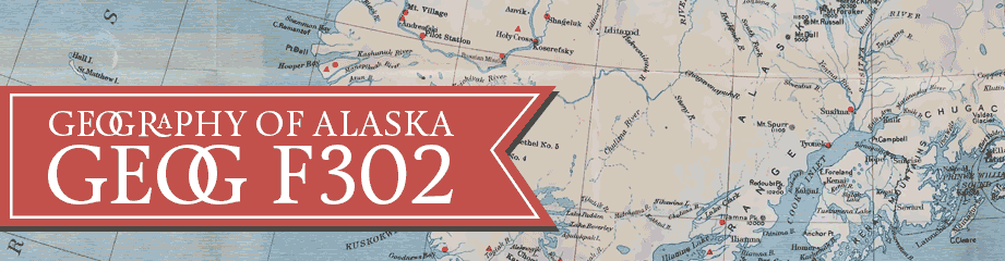
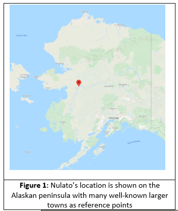
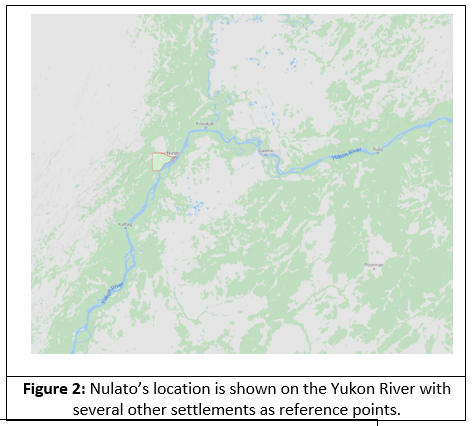
Nulato is an Alaskan settlement located on the western bank of the Yukon River, some 35 miles downstream from Galena or 310 air miles due west from Fairbanks. See Figures 1 — 3 for a better perspective on Nulato’s location.
This location puts Nulato in the Intermonte Basins and Plateaus physiographic unit. As such the terrain here is rather gentle and mild. To the north of the town there are many small ridgelines at roughly 1500 ft MSL. These ridges are separated by broad flat valleys. To the south of town across the Yukon River, there is a large flat region pot marked with small lakes/ponds and soughs. After roughly 12 miles, the marshy flatlands gives way to hills roughly 2500 ft MSL tall. The forests here are lowland and upland spruce and hardwood; with lowland forests being found to the south and upland to the north. Nulato lies in the Bergina Boreal, Temperate Continental Ecoregion of Alaska.
The climate of Nulato is dominated by continental factors/controls; this means that its location far inland allows for the earth’s crust to heat up and cool off rapidly. As such it is in the interior climatic region. This means that Nulato has hot summers and cold winters; the hottest days of the summer here can be in the 90s and temperatures in the winter can be in the minus 60s. It should be noted that Nulato is rather close to the Bering Sea Coast climate region.
Permafrost is discontinuous around Nulato as such buildings and infrastructure can be more readily constructed and relied on once built. It should be noted that the soils in this area are very silty and as such frost susceptible and erosion prone if flooded.
Natural hazards surrounding Nulato are primarily floods and ice jams due to its location on the banks of the Yukon River. This is a historical problem for this town and reports of erosion have been made and where investigated by the U.S. Army Corps of Engineers in 2007. Their baseline assessment can be viewed here, https://www.poa.usace.army.mil/Portals/34/docs/civilworks/BEA/Nulato_Final%20Report.pdf.
As the link above shows, no known damage was found from periodic floods and ice jams so this implies that the problem is well managed and the locals are well prepared to mitigate risks and damages from floods
The resource economy of Nulato is sparse. Trade was always the main source of income and resources for Nulato. In fact, Nulato’s tribal council states that the settlement was founded as a trading town due to its strategic location for trade alone the Yukon River. In the mid to late 1800s steamboat travel was high on the river and would stop twice daily at Nulato for firewood, supplies and passengers. 1884 saw a gold rush with most miners leaving for Fairbanks or Nome by the early 1900s. In modern times the economy of Nulato is dependent on government funded employment such as BLM emergency firefighting or other short-term projects. There is little to no tourism here, though there are several air services companies which fly into the local airport. A reported 55% to 78% of Nulato’s workforce is “perpetually unemployed’[1]. As such most Nulato’s residents live a subsistence lifestyle.
In summation, I do not see much change in the future for Nulato. Its well off the beaten path and not threated by existential problems like Shishmaref. What natural problems the town faces (floods and ice jams) it deals with regularly and effectively. With no real outside influence (aside from providing employment) and no known developable resources I see no factors to change Nulato in meaningful way for the foreseeable future.
[1] https://www.nulatotribe.net/home-2/self-governance/nulatos-history/